

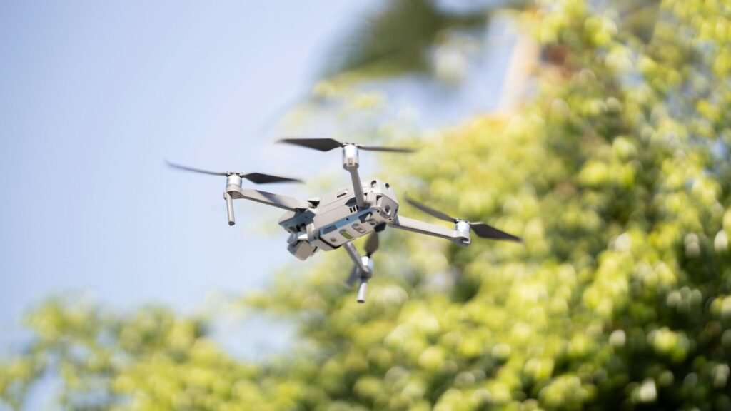
Robot mowers paired with drone mapping software could revolutionize automated lawn care. RTK technology leads the positioning methods for robotic lawn mowers, yet perfect lawn coverage remains a complex challenge. The task of mowing grass-covered areas completely, known as the “lawnmower problem,” has proven to be NP-hard.
Modern high-end models can handle impressive areas of 4000m² or even 8000m², though they still struggle with basic navigation issues. Research indicates that newer approaches deliver better coverage than conventional methods and reduce both mowing and non-mowing distance. Drone mapping software provides a game-changing solution to streamline robot mower operations. These tools range from free options to specialized 3D mapping software that gives users a bird’s-eye view needed for complex lawns. This piece explores how the best drone mapping software can improve your robotic mowing experience.
How robot mowers navigate today

Robotic mowers today make use of several different navigation technologies. Each system comes with its own advantages and drawbacks. A closer look at these systems shows why drone mapping software might be the key to perfect lawn coverage.
RTK: High precision, but signal dependent
Real-Time Kinematic (RTK) positioning technology delivers accuracy within 1-3cm, while standard GPS systems are accurate only up to 2-3 meters. This carrier-phase differential positioning helps create straight mowing lines that match professional landscaping quality. Notwithstanding that, RTK systems don’t work well if trees or buildings block satellite signals. The mowers switch to IMU sensors to estimate their position during brief signal drops, but they might stop working completely if the signal stays gone too long.
VSLAM: Visual mapping with limitations
Visual Simultaneous Localization and Mapping (VSLAM) technology uses cameras to create live maps of the surroundings. This system works better than RTK in shaded spots and areas where GPS signals are weak. The robotic mowers can spot obstacles even in dim light. The biggest problem is that VSLAM needs lots of computing power to process large image datasets. On top of that, it struggles with accuracy at the time of lighting changes, rain, and dust.
Lidar SLAM: Accurate but expensive
Lidar SLAM creates detailed 3D maps using laser pulses with excellent accuracy. The system works well in low light and keeps performing whatever the lighting conditions. It can see through darkness and handles dust and smoke better than vision-based systems. The downside is that Lidar systems are nowhere near as affordable as camera-based options. More than that, most compact Lidar sensors only work up to 30-40 meters, which might not be enough for bigger lawns.
UWB: Indoor-friendly, outdoor-limited
Ultra-Wideband (UWB) technology figures out exact distances by calculating time-of-flight between tag and anchor devices. Multiple anchors help UWB achieve centimeter-level positioning without GPS. The technology’s strong penetration makes it a great fit for complex indoor spaces. The range typically stays between tens and a hundred meters, so larger areas might need extra base stations.
Why drone mapping software changes everything
Drone mapping technology changes how robotic mowers work by fixing the basic problems that current navigation systems don’t deal very well with. These aerial systems capture complete lawn data before a mower touches the grass, instead of starting fresh each time.
Bird’s-eye view for full lawn coverage
Drone mapping software’s overhead view gives an exceptional way to manage lawns. Drones take sharp images from lower heights than regular aerial methods and create precise maps with centimeter-level accuracy. Robots can see the whole lawn layout at once with this bird’s-eye view rather than finding it bit by bit. The aerial survey lets robots access complete terrain details, including slopes that ground sensors might miss. The drone survey works five times faster than regular ground methods, which makes the mowing much quicker too.
Pre-mapping complex zones and obstacles
The advanced drone mapping makes perfect navigation around tricky features possible. The software spots and marks off-limits areas before mowing starts, so autonomous mowers can plan routes around things like fences, pools, and garden furniture. A pre-made coverage map shows all areas the mower can reach, so the robot won’t waste power trying to get to impossible spots. Robot mowers can figure out each lawn’s size, shape, and complexity thanks to this pre-mapping, which creates custom cutting patterns for every property.
Reducing reliance on real-time sensors
Robotic mowers need fewer sensor readings when they have complete drone maps. They follow planned routes that streamline processes instead of just reacting to obstacles they meet. This forward-thinking approach improves mowing efficiency by a lot and makes batteries last longer. Since Americans spend over 70 hours each year taking care of their lawns, this efficiency saves them lots of time. On top of that, planned coverage cuts down on repeated mowing passes, which uses less energy. Mowers with pre-mapped areas work better in tough conditions where sensors might have trouble because the system can pick the best positioning technology for each spot.
Best drone mapping software options for lawn planning
The right drone mapping software can make a huge difference in how well your robot mower performs. Your specific needs, budget, and technical knowledge will determine which software works best for you.
Free drone mapping software: What’s available
You can find several free options if you want to try drone mapping without spending money. WebODM stands out as a popular open-source choice that has reliable data processing features and a helpful user community. It doesn’t include flight planning, but it works great for creating orthomosaics and digital elevation maps. DJI GS Pro works perfectly for DJI drone users and makes it easy to set up survey areas. If you don’t have a DJI drone, Pix4Dcapture gives you free flight planning that works with different drone types.
Drone 3D mapping software for terrain modeling
DJI Terra has changed the game for terrain modeling with its 3D Gaussian Splatting technology. This tech creates detailed, lifelike models that capture everything from tiny structures to vegetation with amazing accuracy. Terra can process 500 photos every hour and complete single-block modeling in just 30-40 minutes. The software runs smoothly on basic hardware – you only need 4GB of GPU memory and 32GB of RAM.
Top picks: Best drone mapping software for robot mowers
UgCS shines when it comes to robot mower integration. Its terrain-following capabilities keep altitude errors under 2 meters even on steep slopes. The software creates precise routes with its corridor planning features. DJI Terra connects hardware and software perfectly, giving you centimeter-level accuracy without ground control points. DroneDeploy is a great choice for businesses with multiple mowers because it offers strong team management and automatic logging features.
Combining drone maps with robot mower systems
The combination of aerial views and ground-based technology creates better mowing solutions that outperform traditional systems. Let’s see how this combination works.
How to import drone maps into Mower software
The first step processes drone imagery through platforms like TurfCloud. This platform combines aerial data, sensor information, and robotics planning in one digital command center. These systems convert orthomosaic maps into formats that work with robotic mower navigation software. The system then extracts boundary information and obstacle locations automatically to create a foundation for path generation.
Using GPS waypoints for path optimization
GPS waypoints are the foundations of efficient mowing paths:
- Path planning algorithms study human operation patterns to create better routes
- The system generates formatted planned paths for autonomous mower tractors
- Operators can adjust waypoints to handle complex terrain features
Real-life example: RTK + drone map fusion
Today’s best systems use fusion technology that blends multiple positioning methods. Mammotion’s robot mower series shows this approach with its 3D Vision and RTK Fusion Mapping system. This integration works consistently, whatever the environmental challenges. Vision technology maintains positioning capabilities when RTK signals get interrupted in GPS-obstructed areas. The dual-guaranteed wireless positioning enhances resilient infrastructure and boundary awareness, which leads to smooth mowing efficiency and safety.
Conclusion
Drone mapping software has changed how robot mowers guide themselves across complex lawns. RTK and VSLAM navigation methods work well but don’t deal very well with signal interference, lighting changes, or physical obstacles. Aerial mapping solves these problems by collecting complete lawn data before the mowing starts.
The benefits become clear in practice. Complete aerial views help mowers understand the whole area instead of finding it bit by bit. Pre-mapping spots obstacles and restricted zones that let mowers plan better routes from the beginning. This smart approach needs fewer real-time sensors, which saves battery life and makes the process more efficient.
Users can choose from free tools like WebODM or specialized platforms such as DJI Terra and UgCS. These platforms come with features that suit different needs and technical skills. The quickest way to get results combines multiple technologies by mixing drone-generated maps with ground-based navigation systems like RTK.
This technology blend could solve the basic “lawnmower problem” that autonomous systems struggled with for years. Getting perfect lawn coverage is still mathematically complex, but drone mapping provides the needed viewpoint to achieve professional results. The technology makes automated mowing more reliable, efficient, and precise for both small residential lawns and large commercial properties.